In the following <link https: steiermark.orf.at news stories external-link-new-window internal link in current>article from the ORF website (published on 23.08.18) Katharina Schröer and Gottfried Kirchengast report on their latest findings:
"According to researchers at the University of Graz, small-scale extreme precipitation events are not being adequately recorded. As a result, the risk posed by such weather events is currently being underestimated, a study shows.
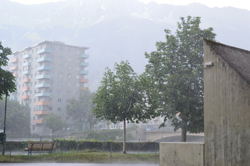
The researchers at the University of Graz gained their insights from a multi-year series of investigations. This provided a "unique measurement density", according to the university. Heavy downpours repeatedly lead to flooding, mudslides, landslides and enormous damage.
Measuring stations too far apart
Reliable risk assessment is essential for effective protective measures, and it's precisely here that researchers at the Wegener Center see room for improvement. In a paper published in the specialist journal "Geophysical Research Letters", they demonstrated that short-duration, small-scale extreme precipitation events are only inadequately captured by conventional weather service measurement networks, whose stations are approximately ten kilometres or more apart.
"This means that models and forecasts also often greatly underestimate the rainfall amounts that can be expected over small areas," said director Gottfried Kirchengast. Around 150 stations in the south-east Styrian region of Feldbach are just one to two kilometres apart and have been recording data on temperature, precipitation and other important climate variables every five minutes since 2007. The stations of the Central Institute for Meteorology and Geodynamics (ZAMG) and the Austrian Hydrographic Service provided supplementary data for the south-east Austrian study area. The Graz climate researchers drew on this data as well as that of the WegenerNet.
Precipitation intensity increases with temperature
The intensity of short-duration extreme precipitation events increases by around nine to fourteen per cent for every degree rise in daily mean temperature. "In south-east Styria, for example, the average summer temperature has risen from around 18 to 21 degrees Celsius since the early 1970s, and with it the daily mean temperature. We therefore expect that climate change will also considerably increase the risk from intense thunderstorm precipitation," said lead study author Katharina Schröer.
Models could be improved
The newly calculated dependencies of rainfall intensity on measurement density and temperature now allow for more reliable determination of what heavy rainfall amounts can actually fall in a short time over spatially confined areas. "This information is important for hydrological models for predicting flash floods and flooding, and enables protective measures such as stream reinforcements to be dimensioned more appropriately," Kirchengast stressed, underlining the high relevance of the findings.
"They also allow for a more realistic assessment of hazards and damage. And at the same time, in research, the new findings enable us to improve weather and climate models for more reliable forecasts and scenarios of small-scale weather extremes," said Kirchengast."